Data Land Services Corp “Aerial Imaging Services” “Drone Data Collection
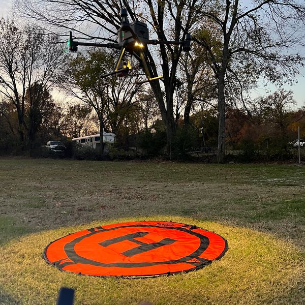
We provide aerial imaging and LiDAR data collection for use by licensed surveyors, engineers, and land professionals.
Data Land Services Corp “Aerial Imaging Services” “Drone Data Collection
We provide aerial imaging and LiDAR data collection for use by licensed surveyors, engineers, and land professionals.

.jpg/:/cr=t:0.04%25,l:0%25,w:100%25,h:99.92%25/rs=w:600,h:600,cg:true)
